Þjórsá Travel Guide

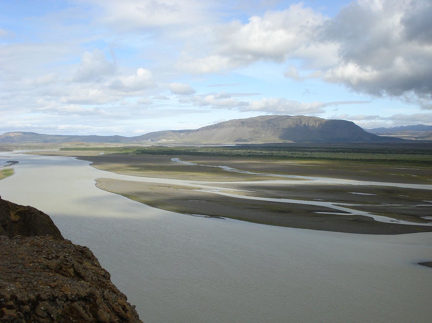
The majestic Þjórsá is Iceland’s longest and second-most voluminous river. At 230 kilometres (143 miles) long, it runs through the south of the country.
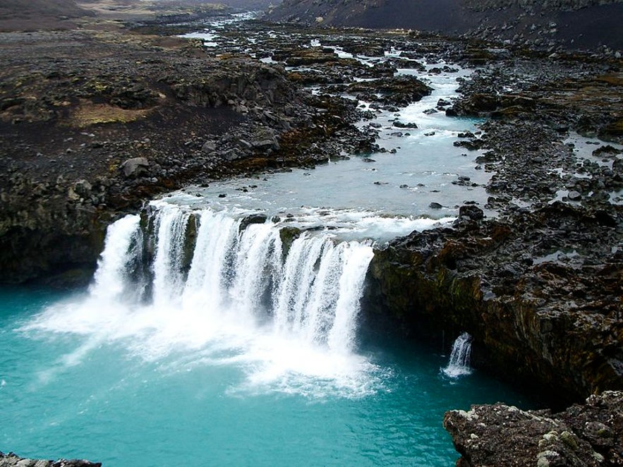
Photo from Wikimedia, Creative Commons, by Grunkhead. No edits made.
The river has its source at the glacier Hofsjökull, though several of its tributaries, including two of its largest, have their origins in Vatnajökull glacier.
Discover the natural wonders of this area on a self drive tour.
Sights & activities
Many beautiful waterfalls are found throughout the length of the Þjórsá river, most notably Þjófafoss, Búðafoss, Urriðafoss, Kjálkaversfoss, Dynkur, Gljúfurleitarfoss,and Hestfoss. While there are more falls in the river, many of these are smaller or have been affected by irrigations in the river.
The Þjórsá also has many small islets within it. The island of Arnes is particularly of note as it was once home to a ‘Þing’.
An Icelandic Þing was an assembly whereby those united under a clan would meet to resolve disputes and pass communal laws under the watch of a law speaker. There were over thirty across the country before the formation of the Alþing that united them, established in Þingvellir National Park.
This occured in 930 AD, and is now considered the world’s longest running, ongoing parliament.
On Arnes, you can see ruins from the ‘Arnesþing’ on the hill Þingholl. Near to here are the rocks known as Gálgaklettar (‘Gallows Rocks’). As their name suggests, it is heavily suspected that this place was used for executions in former times. It is likely that only men were killed here; rather than being hanged, burnt or beheaded, women charged with crimes such as infanticide, murder and witchcraft were usually drowned.
Another notable island in the river is Viðey, although this should not be confused with the island of the same name just off the coast of Reykjavík, famous for its artworks such as Yoko Ono’s Imagine Peace Tower.
This inland Viðey is better known for its forests of birchwood and for featuring over 70 species of vascular plant. Two of these species are particularly rare in Iceland.
 Photo from Wikimedia, Creative Commons, by TommyBee. No edits made.
The river Þjórsá also offers great opportunities for fishing; salmon, trout, stickleback, eel and the European Flounder are all found in the river. Indeed, Þjórsá and its tributaries are among the most abundant salmon rivers in the country.
Seals are also found in the river, with obviously most remaining close to the ocean. They have long been hunted within it, for their skins, oils, and because of their tendencies to rob or infect catches and damage fishing equipment. This practice, however, has undergone sharp decline recently.
River rafting, canoeing and kayaking are all done in the river Þjórsá, although most operators conducting tours in the south prefer to use the waters of the Hvíta river.
Crossing the river
The river can be crossed by two bridges: the older, Þrjotandi, was originally built in the 19th century before being reconstructed a bit lower in the river in 1949. The younger, Sandafell, is slightly below the Sultartangastöð power station.
Power stations
The river has six hydropower stations, built by Landsvirkjun. These are Búrfellsstöð, Sultartangastöð, Hrauneyjafossastöð, Sigoldustöð, Vatnsfellstöð and Búðarhalsstöð. This last power station was completed in 2013. There are plans to make more over the next few years.
While not without their controversies, hydroelectric dams such as these are the main source of Iceland’s electricity; geothermal energy is the second largest source, contrary to what most people believe.
Attractions Nearby
Popular categories

Download Iceland’s biggest travel marketplace to your phone to manage your entire trip in one place
Scan this QR code with your phone camera and press the link that appears to add Iceland’s biggest travel marketplace into your pocket. Enter your phone number or email address to receive an SMS or email with the download link.


